Most parts of the Public Map Platform require JavaScript to work properly. To get the most out of the Public Map Platform, please enable JavaScript in your browser settings and reload the page.
Basemap
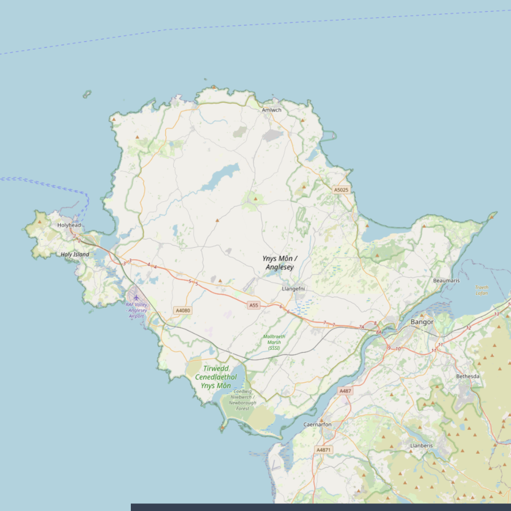
OpenStreetMap
OpenStreetMap is created with crowdsourced data for detailed urban exploration, aiding in route planning, location identification, and community contributions. Users benefit from up-to-date information on roads, businesses, landmarks, and amenities, making it a versatile and reliable basemap layer.
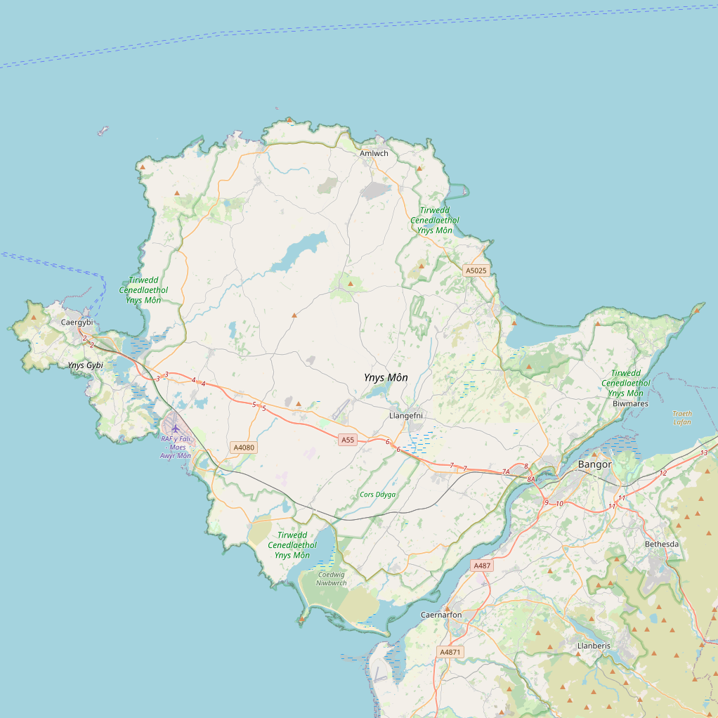
OpenStreetMap Wales
OpenStreetMap Wales is OpenStreetMap with crowdsourced Welsh place names for detailed urban exploration, aiding in route planning, location identification, and community contributions. Users benefit from up-to-date information on roads, businesses, landmarks, and amenities, making it a versatile and reliable basemap layer.
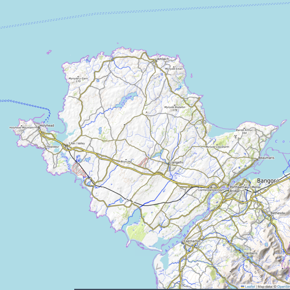
OpenTopoMap
Showcases detailed topographic information for outdoor enthusiasts, hikers, and cyclists, aiding in route planning, terrain analysis, and elevation profiling. Users leverage this layer to explore natural landscapes, identify landforms, and visualize elevation changes, making it an essential tool for outdoor recreation and adventure planning.
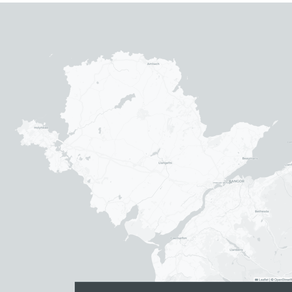
Greyscale
Provides a simplistic, monochromatic backdrop that enhances data visualization by reducing visual distraction and emphasizing overlays. This layer ensures clear presentation of information, making it ideal for thematic mapping, data analysis, and highlighting spatial patterns with a minimalist aesthetic.
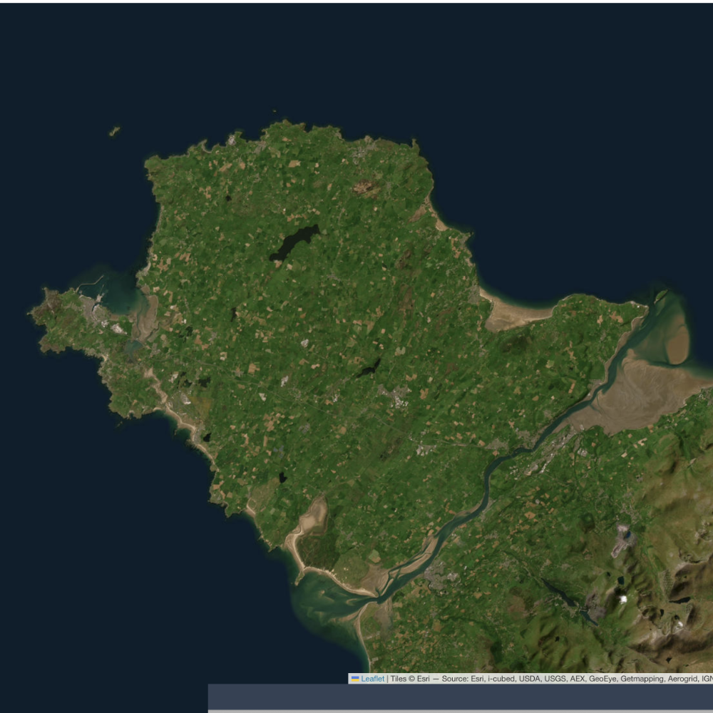
Satellite
Offers high-resolution aerial imagery for unparalleled visual context, aiding in precise location identification, environmental monitoring, and infrastructure planning. Users leverage satellite views to analyze land cover, monitor changes over time, and enhance situational awareness in various fields.