Most parts of the Public Map Platform require JavaScript to work properly. To get the most out of the Public Map Platform, please enable JavaScript in your browser settings and reload the page.
These projects are shared by the PMP community and are available for you to explore.
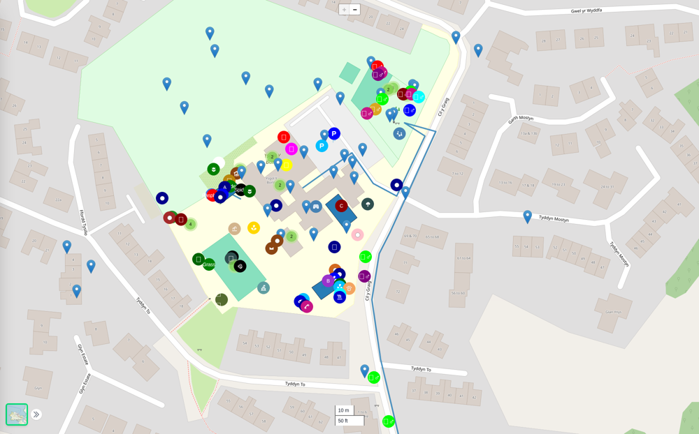
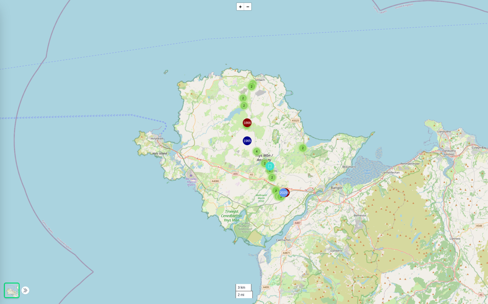
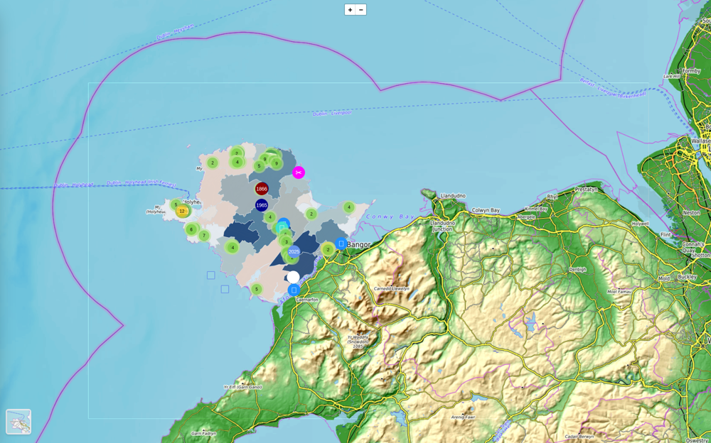
Ysgol y Borth Social, Cultural and Environmental Mapping
A variety of maps map by school children from Ysgol y Borth. These include social maps of the area around the school, cultural maps of local places and environmental bio-diversity mapping of the school grounds.
Penderi
WFGA 21 Test
Property Prices
Walter Glynn Davies - Life on the Line
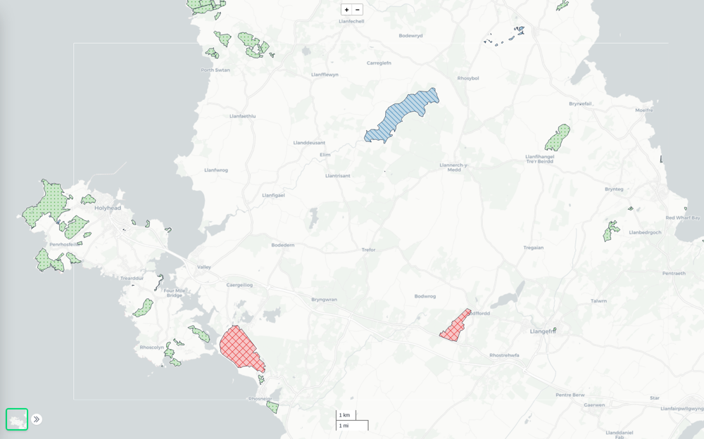
Area Fill Symbols
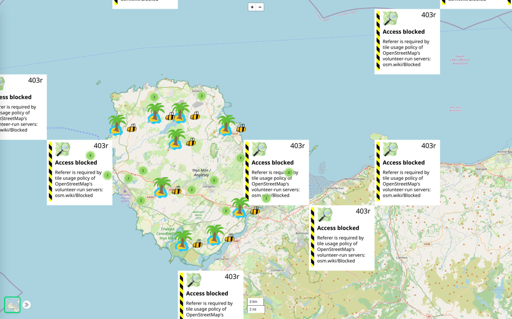
Animated Bees
New Project
OpenStreetMap is created with crowdsourced data for detailed urban exploration, aiding in route planning, location identification, and community contributions. Users benefit from up-to-date information on roads, businesses, landmarks, and amenities, making it a versatile and reliable basemap layer.
picking a spot for a cabin after the end of the world
Just a playful experiment. I've tried to add data layers that might help me decide where to build a cabin after the end of the world. key factors: flood levels, access to clean water, access to firewood, access to / distance from traffic. distance from known sources of pollution